Mechanized birds: Wildland firefighting with drone intelligence
The robotic birds of the sky, known colloquially as drones, were a menace to the wildland firefighting community. The mere appearance of a recreational drone in the skies near a wildfire called for the grounding of all firefighting aircraft, giving birth to catchy sayings like “If you fly, we can’t,” and “It’s not worth the view.”
While these sayings are still true, drones — also called UAS or unmanned aerial systems — are playing an increasingly important role in fighting wildfires.
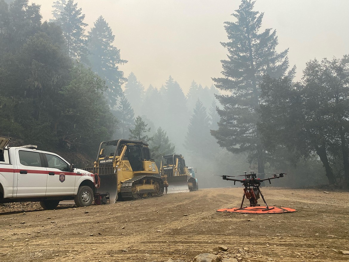
No, drones can’t drop thousands of gallons of water or fire retardant like a supertanker. They also cannot deliver thousands of pounds of supplies like the K-MAX helicopter or evacuate injured firefighters like UH-60 Black Hawk helicopters. The drones can, however, support operations with aerial ignition and gather intelligence then relay that information to firefighters on the lines within minutes.
The greatest benefit drones provide is they can take to the sky when human-powered aircraft are grounded for pilot safety.
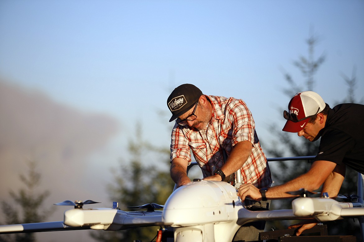
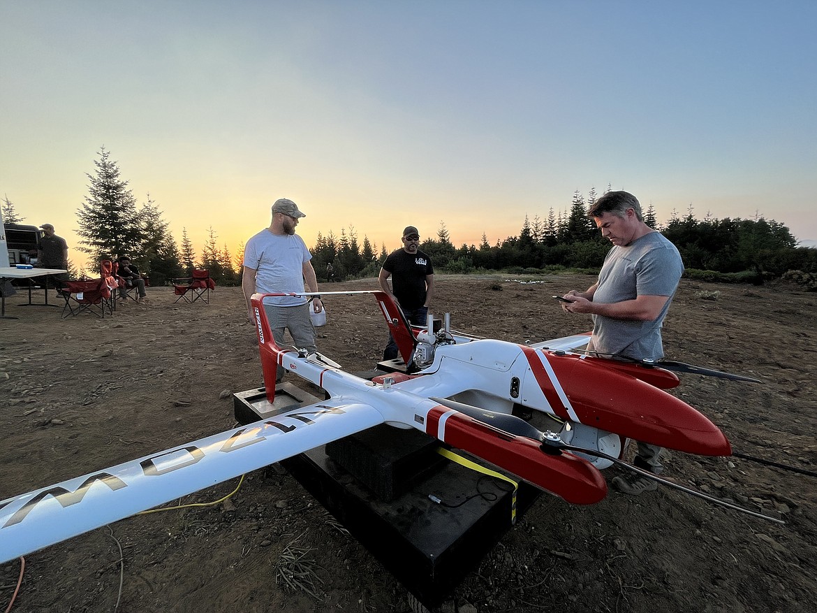
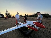
Take, for example the FVR-90, a fixed-wing drone with a 14-foot wingspan capable of traveling at speeds up to 80 knots, or 46 mph, with a flight time of 8 hours. They are sent airborne just at dusk when other human-piloted flights are grounded. The sky is theirs, and the overhead view they have of the fire is detailed and in real-time.
“The way we use UAS now is very much a supplement,” said Justin Baxter, the Forest Service National UAS Operations Specialist. “There are certain times that it’s just not safe for us to utilize manned helicopters or fixed-wing aircraft, like nighttime operations or in thick smoke or high winds. But during those times there are still firefighters out there trying to complete the day's objectives and put the fire out.”
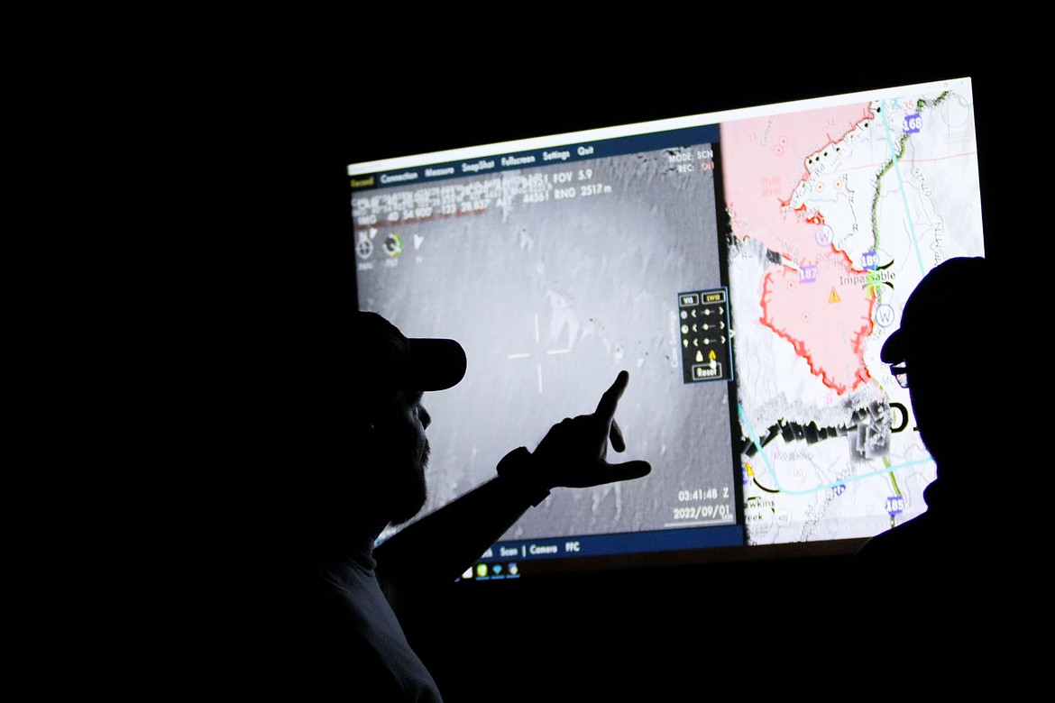
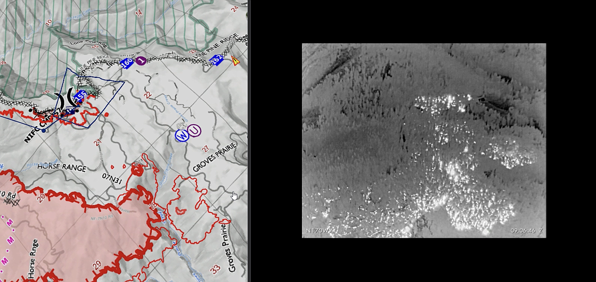
The drones that Baxter and his team fly are equipped with cameras that are not your normal cameras. They come equipped with multiple types of sensors, including infrared, that allow the team to see through smoke and, at night, see heat signatures, or thermal-based imaging. This allows the team to identify areas where fire is still active and new areas where flames have advanced, such as spot fires.
Spot fires occur when embers from the main fire are thrown into the air and pushed by wind until they fall to the ground, starting a new fire. They are notoriously hard to identify because they are small at first and visibility is diminished by smoke. They also may occur in hard-to-reach places difficult for firefighters to patrol, like on steep slopes or down drainages.
“Drones are changing that labor-intensive process to identify these spot fires, especially when an operational area can span hundreds of thousands of acres,” Baxter said. With drones, fire managers and incident management teams can scan large areas quickly and easily identify spot fires up to about a mile from the main fire. That information is relayed and enables firefighters to get in and suppress those new starts before they grow.
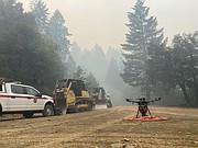
“To give you an idea, this drone can pick up a 2-inch-by-2-inch spot fire from a half-mile away,” said Baxter as he gestured to the imposing drone just to his left minutes before takeoff to fly around the perimeter of the Six Rivers Lightning Complex Fire near Willow Creek, California.
Baxter said that much has changed since 2015 when the agency began the UAS program. With each passing year, incident management teams have increasingly incorporated the capability into their strategies.
The communication between the UAS crew and firefighters on the ground flows in both directions. The drone may be flying over and see heat in an area and radio it into the hotshot crew to check out. Conversely, the hotshot crew can radio in to the UAS crew and ask for assistance in exploring an area that they suspect might be active, and then view a feed from the drone of the area in question.
John Crotty served as the air operations branch director with California Interagency Incident Management Team 15 that responded to the Lightning Complex Fire on the Six Rivers National Forest.
Aerial intelligence isn’t new in wildland firefighting, said Crotty referring to the recently retired Cobra helicopter and its capabilities. But the implications of unmanned flight — that opens up new possibilities.
“With the Cobra aircraft, we needed a pilot and an interpreter up there to run the camera and talk to the folks on the ground. So, we expose two individuals plus a flight [to risk],” said Crotty, “But what we really needed was the visibility to fly.”
Thick smoke on the fires like the Lightning Complex can ground manned aircraft. That's where drones come into play and the images it captures can inform firefighters working across a large area.
“The other day I heard from one of the hotshot crews out there. They were in heavy smoke conditions, at night. With the low visibility they couldn't see if they had a spot fire across the line,” Crotty said. "This tool being up in the air, looking down at that exact area, the UAS crew was able to pinpoint the spot and provide precise coordinates to the firefighters who were able to check it out and put it out. That kind of information we would never have without these unmanned aircraft and that capability.”
The unmanned aerial systems crew couldn't recall a time when drones were used so much during a wildfire incident, which has now been underway for more than a month, and that flying these aircraft is much more cost efficient.
“Drones are the future of aviation for not only fire but for aviation in general. It's a win-win for the agencies to operate under an umbrella of this type of aircraft that can provide precise and timely info to firefighters and incident management teams, and most importantly, we can do it safely.”
Andrew Avitt is a communications specialist with the U.S. Forest Service, Pacific Southwest Region.

