City-by-city snowfall predictions


Every year in mid-autumn, Cliff and I issue our annual city-by-city snowfall predictions for North Idaho and surrounding areas of the Inland Empire.
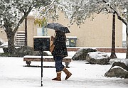
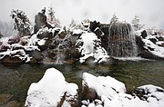
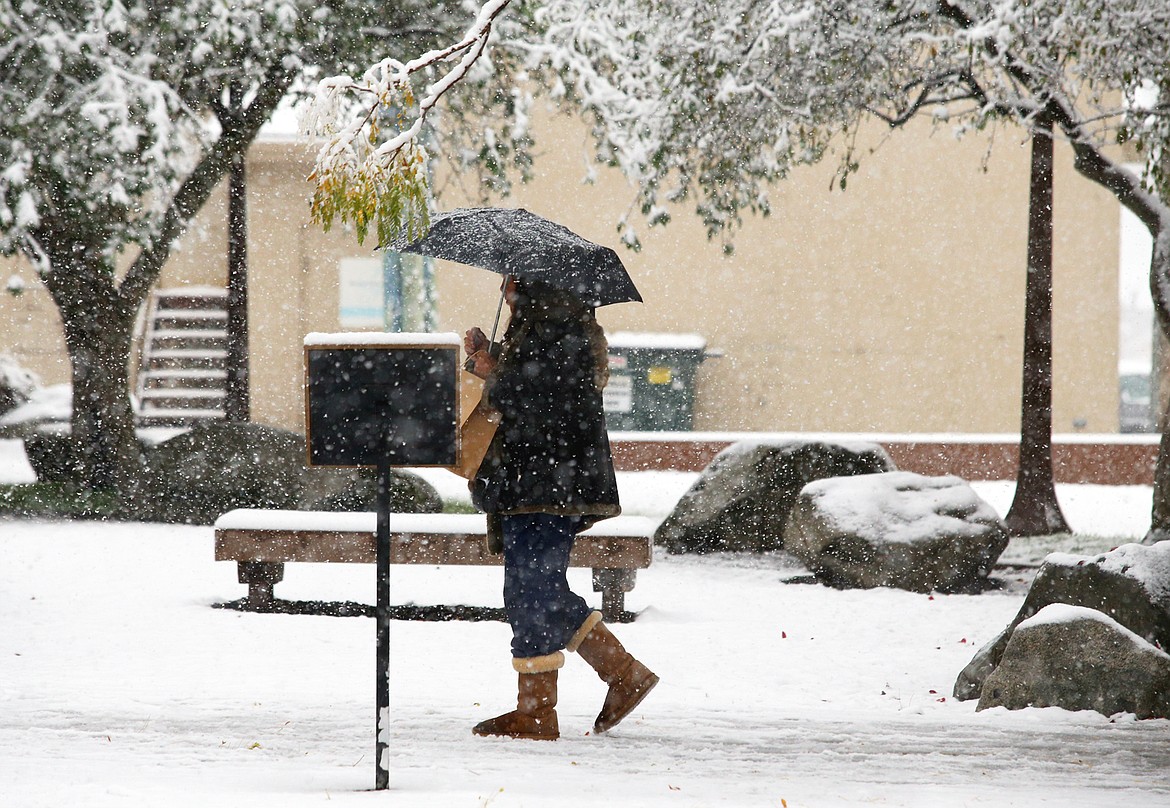
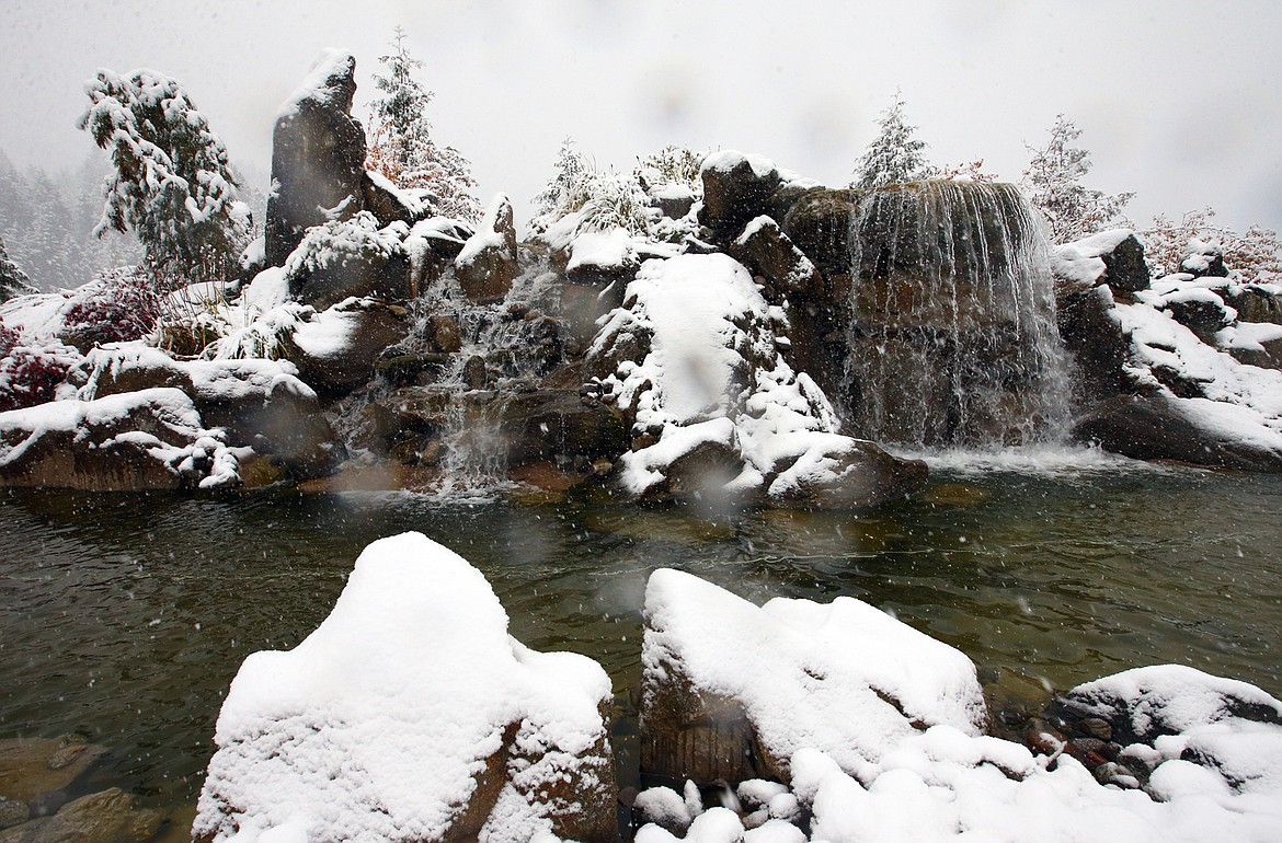
Our season has certainly been off to a fast start as we had record snows last Friday. It’s the second year in a row that North Idaho has seen record October snows, which is unprecedented.
For this month, one storm produced 7.9 inches of snow at Cliff’s station, breaking the monthly October record of 6.8 inches in 1957 and the record for the date — 3.8 inches on Oct. 23, 1957. Last year, we picked up 5.5 inches for October.
The storm also produced record cold over the weekend. The high was only 33 degrees Friday and 31 degrees on Saturday, both low maximum records. Lows dropped into the teens in many areas over the weekend, which also broke cold records.
The average snowfall for Coeur d’Alene since 1895 is 69.8 inches. We’re expecting an above-normal season thanks to low sunspot activity and a developing cooler than normal sea-surface temperature event, La Nina, in the waters of the south-central Pacific Ocean.
The circumpolar vortex has moved over the western U.S., which also increases the chances for higher snow totals for the season. The circumpolar vortex is a relatively large upper-level low pressure system consisting of large masses of cold, dense Arctic air that is located near the North Pole.
When the polar vortex is strong, the frigid cold air mass will often stay confined near the North Pole as the jet stream increases in strength. But, when the vortex weakens and splits into two or more vortices, the cold air will often push southward into North America, Europe and Asia.
Last year, the 2019-20 season, many locations around North Idaho started off with record snowfalls in September and October. Then, November had the least snow in history as only 0.1 inches fell at Cliff’s station. December 2019 was another month with below-normal snowfall as only 13.9 inches fell, compared to the normal of 20.6 inches.
But the snowfall season turned around in January as 34.1 inches was reported. When the 2019-20 season was finished, Cliff measured 69.6 inches of snow at his station in northwestern Coeur d’Alene, only 0.2 inches below the normal of 69.8 inches. The previous season, 2018-19, we came close to the 100-inch mark as 96.4 inches fell.
For the 2020-21 season, Cliff and I see another year with above-normal snowfall totals.
Our initial estimates are going to be around 110 inches in Coeur d’Alene with very healthy totals in the higher elevations. As we’ve been saying for quite some time, it’s possible that we could have a season that challenges the record-breaking 172.9 inches of snow.
However, if La Nina weakens, or there is some kind of major shift in the upper-level wind patterns, then we could see some rain rather than mostly snow for the season.
For now, here’s our projected seasonal snowfall totals for many eastern Washington and northern Idaho towns and cities. And, depending on what happens over the next several months, we may have to adjust these totals.
- The area ski resorts should measure between 250-300 inches at Mt. Spokane to as much as 450-500 inches of snow at Lookout Pass along the Idaho/Montana border.
- Priest Lake: 155 to 160 inches.
- Spirit Lake: 150 to 155 inches.
- Twin Lakes: 148 to 153 inches.
- Bonners Ferry: 147 to 152 inches.
- Rathdrum: 145 to 150 inches.
- Sandpoint: 142 to 147 inches.
- Wallace: 140 to 145 inches.
- Athol/Garwood: 138 to 143 inches.
- Hauser Lake: 137 to 142 inches.
- Kellogg (town): 135 to 140 inches.
- Hayden Lake (above 2,400 feet): 127 to 132 inches.
- Hayden (town): 120 to 125 inches.
- Newport, Wash.: 115 to 120 inches.
- NW Coeur d’Alene (Cliff's station on Player Drive): 107 to 112 inches.
- Fernan Lake: 100 to 105 inches.
- Dalton Gardens: 98 to 103 inches.
- St. Maries: 97 to 102 inches.
- Kalispell, Mont.: 95 to 100 inches.
- Hope: 92 to 97 inches.
- Coeur d’Alene (Downtown near The Coeur d'Alene Resort): 90 to 95 inches.
- Post Falls: 88 to 93 inches.
- Plummer: 85 to 90 inches.
- Worley: 83 to 88 inches.
- Harrison: 82 to 87 inches.
- Missoula, Mont.: 80 to 85 inches.
- Spokane (South Hill): 78 to 83 inches.
- Bayview: 77 to 82 inches.
- Spokane Valley: 77 to 82 inches.
- Spokane International Airport: 73 to 78 inches.
Overall, moisture totals are expected to be above normal through the end of the year with periods of snow and some occasional rain. The chances of a White Christmas, which would be a record-smashing sixth year in a row, are looking pretty good.