How students used phones and drones to help a city count its headstones
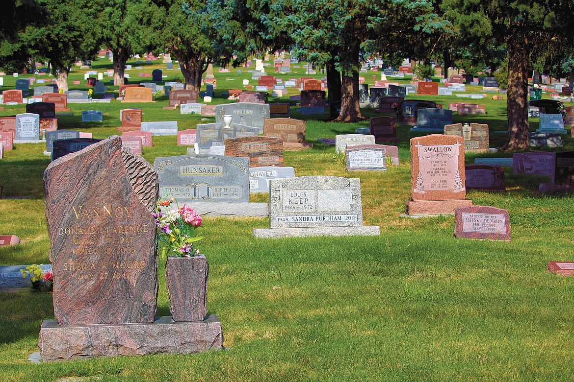
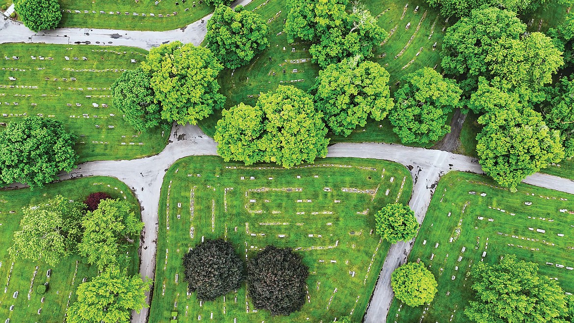

If you told me a decade ago that I’d become an expert in mapping cemeteries, I would’ve laughed and been very confused about the dramatic turn my professional life must’ve taken at some point.
I’m an environmental scientist who specializes in geospatial technology, which involves analyzing the Earth and how geography plays a role in human societies. I use these tools in my work to map conservation planning, food deserts, trail systems and green space accessibility.
Become a Subscriber!
You have read all of your free articles this month. Select a plan below to start your subscription today.
Already a subscriber? Login