
OUR GEM: Drought and snowpack update for the Idaho Panhandle
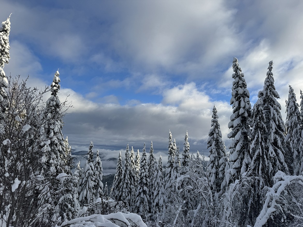
Photo courtesy of Our Gem.
After a dry and mild fall, many were looking forward to an increase of moisture across North Idaho to lessen the drought impacts that have persisted for the last two years. Since last fall, the National Weather Service’s Climate Prediction Center has been advertising wetter-than-normal conditions for the winter season across the Inland NW with the arrival of La Niña.
The rounds of precipitation picked up in November and continued off and on through December and into early January. This precipitation has been beneficial and not excessive for this time of the year. With low soil moisture, much of the precipitation soaked into the thirsty ground and gave way to less runoff with only slight rises on area rivers and creeks. The snowpack got off to an early start at the higher elevations and soared above normal by late November which was a boon for area ski resorts during the holiday season. As temperatures remained mild, the higher elevations reaped the benefits of the snow, while lower elevations experienced more cold rain with sloppy snow that melted quickly.
Become a Subscriber!
You have read all of your free articles this month. Select a plan below to start your subscription today.
Already a subscriber? Login