
Snow caps March-like December
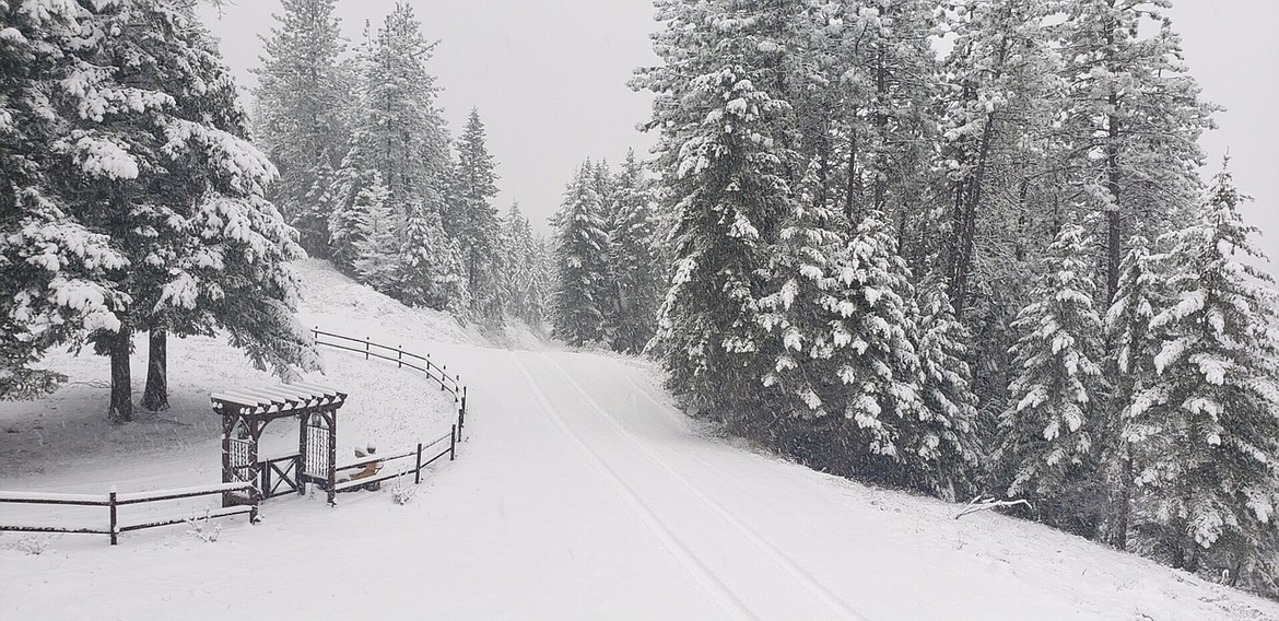

COEUR d’ALENE — December came in like a lamb and out like a lion.
Remind you of anything?
Press climatologist Cliff Harris said Tuesday afternoon that between 4 a.m. and 1 p.m., his weather station on Player Drive in central Coeur d’Alene had registered 4.7 inches of new snow. That brought total snowfall for the second half of December to 13.5 inches — a little higher than average — after seeing the least snowfall in the first half of the month since weather records began in 1895.
“We’re still in this pattern of extremes,” he said.
Just last week, Harris noted that with record snows in September and October, the greater CDA area was experiencing its earliest winter ever, followed by a record 44 snowless days and a brown Christmas. “Now we’re having our earliest spring ever,” he said then.
But now it looks like winter is back to kick off the new year — with snowshoes and Sorels.
“I believe we’re going to get a really snowy January,” Harris said.
First, however, the National Weather Service is forecasting a high around 40 today with rain likely. Tonight, breezy conditions are expected with a slight chance of some snow.