
Here comes your big change in the weather
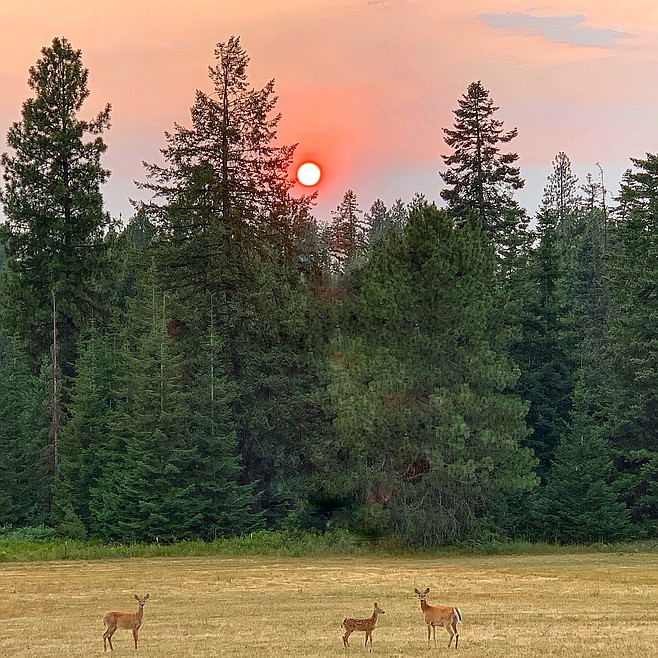
CLINT SCHROEDER/Press Press publisher Clint Schroeder took this photo Thursday evening. His comment: “It’s hot. It’s smoky. But, the kids don’t mind.”
The weather is cooling off, but the fire danger will stick around — until it rains, anyway. The National Weather Service issued a Red Flag Warning that remains in effect through Saturday. Highs will topple from near triple digits to the low 80s, then to autumn-like temperatures Sunday.
North Idaho can expect several rounds of thunderstorms. The storms are expected to be dry this morning, with moisture beginning to come down this afternoon. Rain is expected to continue through Saturday morning.
“Looking good for moisture,” Press meteorolgist Randy Mann said Thursday afternoon. “We could see up to an inch of rain this weekend.”
A “Red Flag” warning, which indicates critical fire conditions, will remain in effect until 3 p.m. Saturday for North Idaho and a large portion of east central Washington.
Scattered thunderstorms with lightning will be possible this evening into the overnight hours. The storms are expected to slow by Saturday afternoon. Scattered gusty winds are possible near thunderstorms.
“New fire starts are possible from lightning strikes, which could be fanned from gusty winds,” a weather service advisory said. “Fire personnel should be vigilant to on-and-off storms and outflow winds the next few days when deployed to any new incidents.”
The storm system will slow down on Sunday, with showers and possible thunderstorms before 11 a.m. and a high near 66 degrees.
Ahhh.
— Julia Bennett